Shared:Site
From m4h
m4h pointCloud - a common parametric model
m4h pointCloud is a common platform for sharing, analysing and processing data of the area and building site.
It consists of:
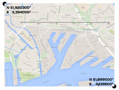
- reference map (with GPS coordinates of researched area)
    Upper left N 5920300° E 4,394000°
    Bottom right N 51,899000° E 4,439500°
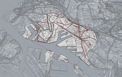
- rhino file (2D and 3D model of area and marconi towers)
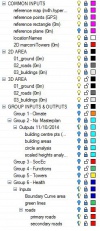
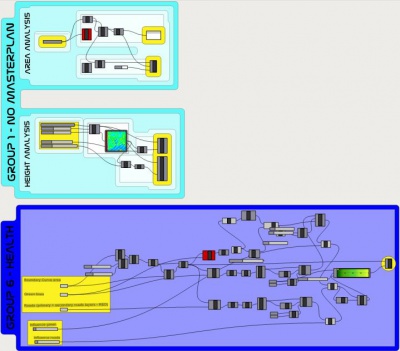
- grasshopper file (based on points, it holds, organises and creates project data)


